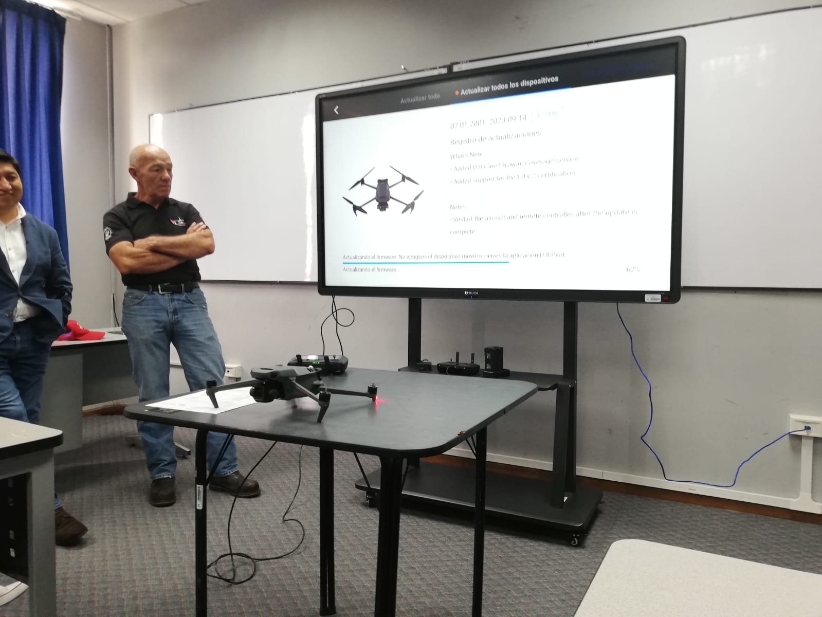
As part of the research project "Carbon capture capacity of the Oglán Alto-Arajuno Protective Forest in the face of environmental pressure due to the development of the Oglan-Block 10 field", two drones were acquired with RTK and multispectral technology that will be used for cartographic analysis and the study of spectral patterns of vegetation cover through the calculation of vegetation indices..